![[EN IMAGES] Hurricane Ian slams ashore in Florida, causing 'catastrophic' flooding](https://queenscitizen.ca/wp-content/uploads/2022/09/EN-IMAGES-Hurricane-Ian-slams-ashore-in-Florida-causing-catastrophic-1024x421.jpg)
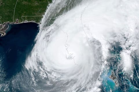
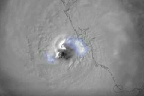
Punta Gorda, United States | Hurricane IanAfter already causing “catastrophic” flooding, the storm, considered “extremely dangerous,” made landfall in Florida on Wednesday afternoon, according to the US National Hurricane Center (NHC).
• Also Read: Cuba Devastated, Florida Brace for Hurricane Ian’s Worst
• Also Read: Hurricane Ian hits Cuba causing power outages
At sea, poor conditions caused the boat carrying the migrants to capsize, and the coastguard is still searching for 20 missing people, three rescued and four others who swam to shore.
Carrying sustained winds of up to 150 mph, Ion made landfall southwest of the state at 3:05 p.m. along the coast of Cayo Costa, according to the NHC.
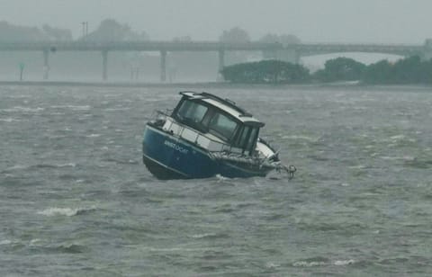
According to the center’s previous bulletin, Wednesday’s hurricane caused “catastrophic marine flooding, winds and flooding on the Florida peninsula.”
Ian It has already ravaged western Cuba in recent days, then moved inland during the day and could emerge over the western Atlantic by Thursday evening, the NHC said.
“concern”
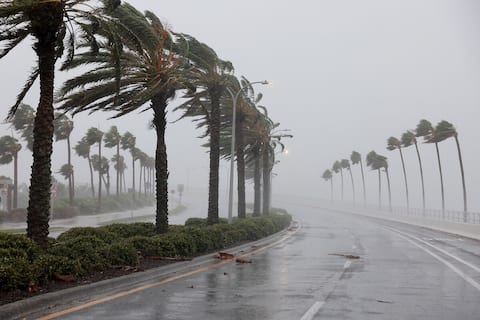
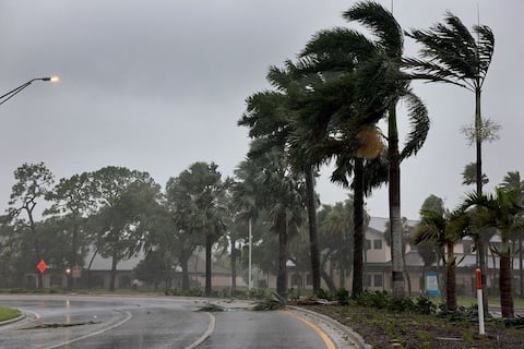
The streets of Punta Gorda, in the south of the state, where few passers-by were walking at midday, suddenly emptied on Wednesday afternoon as the sky turned gray and torrential rain intensified, AFP journalists saw.
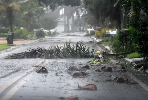
Many palm trees in the center were broken by strong winds, power poles were also moved, and the storm is still forty kilometers away from the city.
“The closer he gets, the more anxiety he gets with the unknown,” said Chelsea Thompson, 30, who helped her parents secure their home southwest of Tampa on Tuesday.
In Naples, southwest Florida, images from MSNBC showed completely flooded streets and cars floating in the current.
According to the NHC, oceanic plumes could reach more than five meters in coastal areas, while central and northeast Florida saw between 30 and 45 cm of precipitation and 60 cm depending on location.
“This is a storm that will be talked about for years,” NWS Director Ken Graham said at a press conference.
In the morning, Florida Governor Ron DeSantis warned that Ian could make landfall as a Category 5 hurricane, the highest category on the Saffir-Simpson scale.
“Obviously this is a very powerful hurricane that will have far-reaching consequences,” he said.
Overnight evacuation orders were issued for a dozen counties along the coast.
The director of FEMA (the federal agency responsible for managing natural disasters) confirmed that Ian will continue to be a “very dangerous” storm “for days to come”.
Officials are preparing for “historic and catastrophic impacts that we’re already starting to see,” Dean Criswell underlined before Ian made landfall.
Power outages
According to poweroutage.us, more than 810,000 homes in Florida were already without power as of 3:20 p.m.
Ahead of Ion’s arrival, Tampa’s airport suspended operations Tuesday afternoon, while Orlando did the same at 10:30 a.m. Wednesday.
Category 3 Hurricane Ian hit Cuba earlier on Tuesday.
Two people died in the western province of Pinar del Río, according to Cuban state media. The island and its 11.2 million inhabitants were plunged into complete darkness.
As the surface of the oceans warms, the frequency of the most intense storms will increase with stronger winds and more rainfall, but not the total number of storms.
According to Gary Lockman, a professor of climate sciences at North Carolina State University in the United States, several studies have demonstrated a “possible link” between climate change and a phenomenon known as “rapid intensification” – when a relatively weak tropical storm strengthens. As a Category 3 or higher hurricane within 24 hours, as was the case with Ian.
“The consensus is that there will be fewer storms in the future, but the biggest ones will be more intense,” the scientist told AFP.




More Stories
Allegations of corruption Qatar warns of ‘negative impact’ of European measures
USA: Famous “Hollywood cat” euthanized in Los Angeles
The campaigner who called for the shooting of Ukrainian children has not been charged